Introduction to ArcGIS Online
Fall 2022 GIS Workshop Series
LibGuides: UVa GIS Resources: Teaching Resources
What is ArcGIS online?
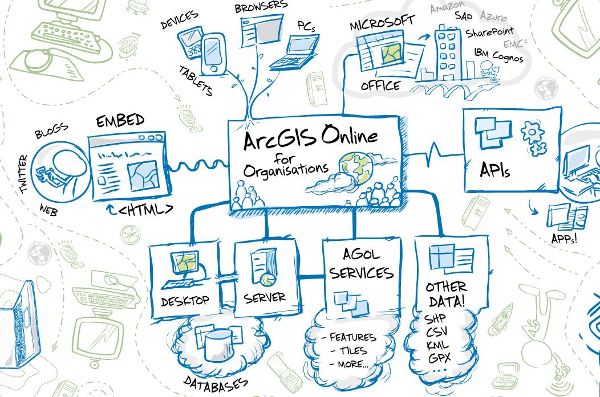
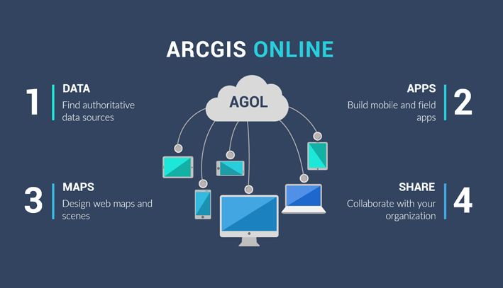
ArcGIS Online is a cloud-based mapping platform. Users get access to dynamic, authoritative content to create, collaborate, catalog, and share maps, data, and applications with each other, the entire organization, or the public. Through ArcGIS Online, organizations gain access to the Esri cloud.
What can you do with ArcGIS Online?
Explore and visualize 2D and 3D data. Share your maps with anyone, anywhere or keep them private. Work collaboratively with fellow scholars to build maps and apps. Access analysis tools that help you better understand your data. Build stories around your data, maps, pictures and other media. Browser-based, no platform issues.
Content Page - Note: only visible if signed-in to ArcGIS Online
Interactive Mapping
Ice Cream Map
Application Templates and Builders
Web AppBuilder
Web AppBuilder
Experience Builder
Data Collection
Collector for ArcGIS
Survey123
Maps can be used for visualization or to share data and collaborate, but we often use them to present the results of a GIS analysis.
Perform analysis-ArcGIS Online Help | Documentation
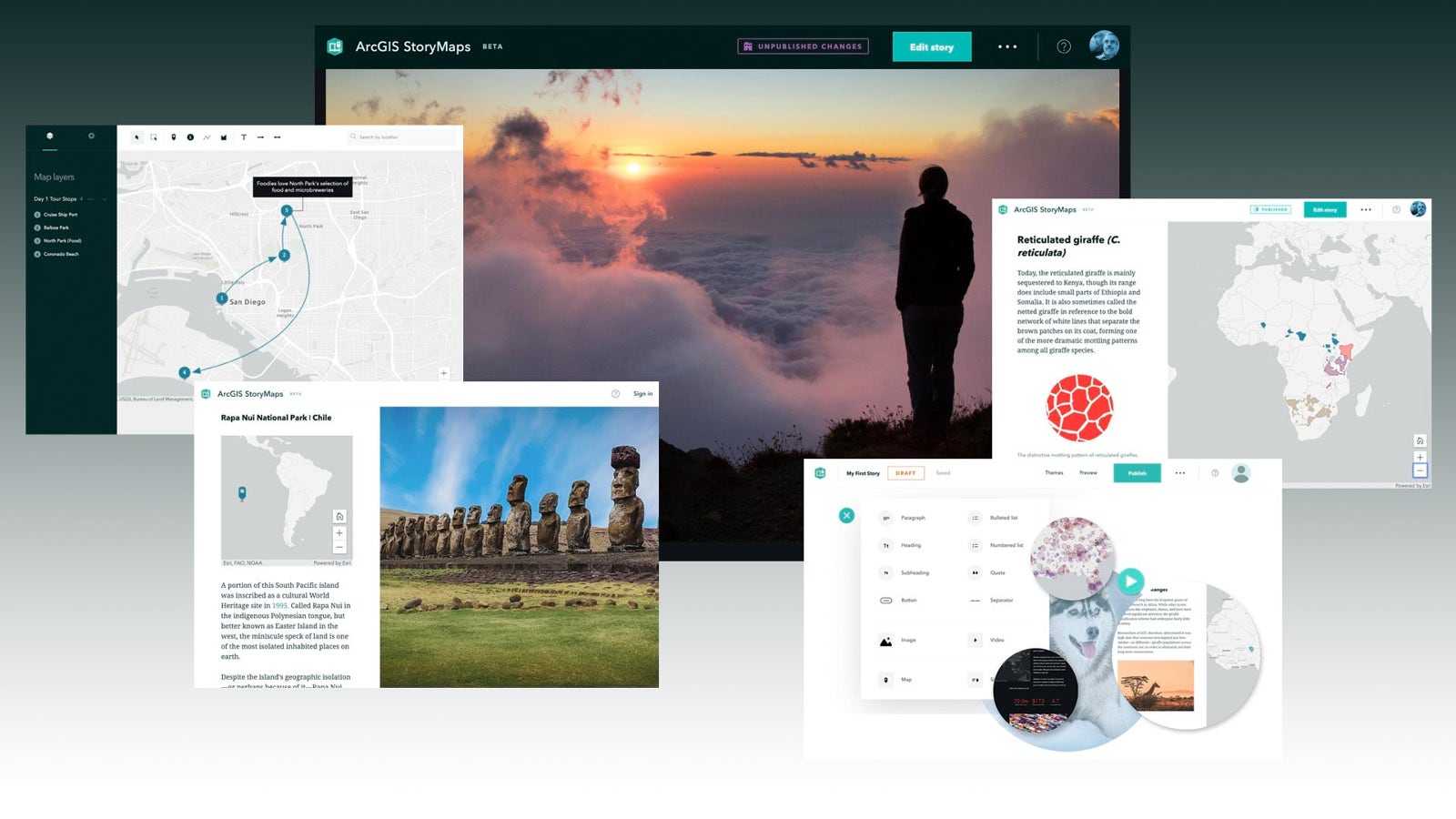
ArcGIS StoryMaps
StoryMaps are a great way to present your GIS project
We can't discuss the current ArcGIS StoryMaps without giving a nod to the "classic" Story Maps. Still available, these application templates will eventually be deprecated.
Story Maps Classic


